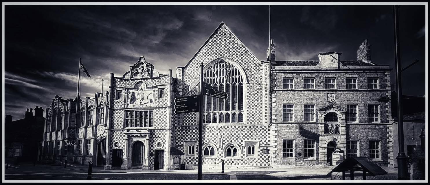

Photo © David Dixon
At the end of Boal Street stands one of King’s Lynn’s least conspicuous bridges. Built in 1990, it crosses the Mill Fleet just before the old waterway reaches the Great Ouse. The Borough Council describes it as a “caisson bridge”, but there is little about its appearance to make anyone stop and look. Its interest lies less in the structure itself than in what occupied this crossing before it. Medieval boats used the Mill Fleet, Victorian railway wagons crossed it on a swing bridge, and the present bridge arrived as Lynn’s old working waterfront was beginning a new life.
Where the Mill Fleet met the river
The modern bridge stands in a landscape that has been repeatedly reshaped. The Mill Fleet was one of the waterways around which medieval Lynn developed, running towards the Ouse through an area of mills, wharves, workshops, and reclaimed ground. Archaeological work around Boal Street has found evidence of the medieval quayside and of later attempts to extend and strengthen the waterfront. The boundary between land and river that seems so permanent today is largely the work of generations of Lynn inhabitants.
Boal Street led westwards into this busy riverside district, towards the boatyards and wharves of Boal Quay. At its end lay the Mill Fleet, separating Boal Quay from South Quay. For centuries that was primarily a problem for people and boats. In the nineteenth century it became a problem for the railway.
During the 1850s the East Anglian Railway extended its harbour line towards the quays so that goods wagons could run alongside warehouses and ships. To reach South Quay it had to cross the Mill Fleet, but a fixed low bridge would have blocked boats using the waterway. The answer was a swing bridge, under construction by 1855, which could carry railway traffic across the fleet and be moved when vessels needed to pass.
The result must have been an extraordinary sight. Railway wagons travelled through a working waterfront of ships, warehouses, carts, dock workers, and pedestrians, their tracks running along the quays themselves. At the end of Boal Street, road and railway crossed the Mill Fleet together. Aerial photographs from the twentieth century show just how closely these different forms of transport were packed into a relatively small area.
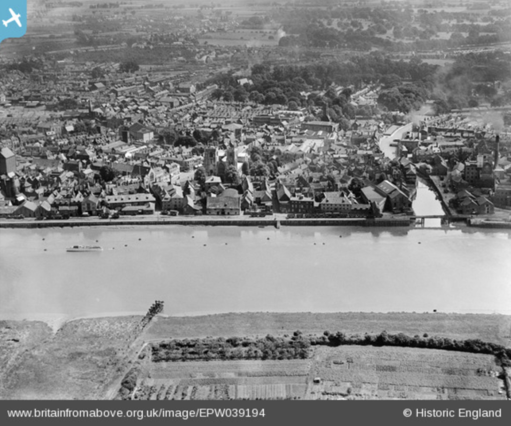
Photo © Historic England
When the railway disappeared
The harbour railway survived for more than a century, but eventually road transport took over much of its work. Traffic declined during the twentieth century and the harbour branch closed in the late 1960s. Its rails were lifted and the old swing bridges across the Mill Fleet and Friars Fleet disappeared soon afterwards, probably around the beginning of 1970.
Their disappearance came as the character of the waterfront itself was changing. South Quay had developed as a place of trade, warehouses, railway sidings, and ships. As those activities declined, some of the old buildings acquired new uses and greater attention was paid to conserving the historic townscape. Gradually the quay became somewhere to walk beside the river rather than simply somewhere to work beside it.
For about twenty years after the railway bridge disappeared there was no comparable permanent crossing at this point. Then, in 1990, Boal Street was carried across the Mill Fleet once again.
A new bridge for a changing waterfront
The Borough Council’s conservation area assessment records the new structure rather tersely as a “caisson bridge of 1990 over the Millfleet taking Boal Street to the quayside”. The word “caisson” refers to a form of engineering used where foundations have to be constructed in water or difficult ground. That would make sense here. The bridge stands at the tidal end of an old watercourse, immediately beside the Great Ouse, on ground that has been reclaimed and altered over many centuries.
Precisely how the caissons were used remains uncertain because the original engineering drawings and construction records have not yet been located. Nor do we know whether the builders encountered or reused anything belonging to the Victorian swing bridge. The two structures occupied essentially the same crossing, so the answer may still lie in council engineering or highways records.
The timing of the new bridge is perhaps more revealing than its construction. South Quay was becoming a different kind of place. The bridge appeared in 1990, further improvements followed during that decade, and later paving and street works helped create the riverside promenade familiar today. Boal Quay retained more of its maritime character, while South Quay increasingly became a public space. The bridge linked the two.
That makes this modest structure an unexpectedly good place from which to read Lynn’s history. The Mill Fleet beneath it belongs to the medieval town of waterways and quays. The vanished swing bridge recalls the nineteenth-century port, when railway wagons ran almost to the sides of ships. The concrete crossing above belongs to the period when South Quay was being reclaimed for another purpose.
There is nothing grand about the bridge at the end of Boal Street. Most people probably cross it without noticing that they have crossed a bridge at all. But for more than a century trains crossed the water here, and for centuries before them boats moved through the Mill Fleet. The bridge built in 1990 is simply the latest structure to occupy a crossing that has changed repeatedly with King’s Lynn itself.
© James Rye 2026
Book a Walk with a Trained and Qualified King’s Lynn Guide
References
- Borough Council of King’s Lynn & West Norfolk. King’s Lynn St Margaret’s Conservation Area Character Statement.
- Borough Council of King’s Lynn & West Norfolk. King’s Lynn: The Friars Conservation Area Character Statement.
- Britain from Above. Mill Fleet and the Town, King’s Lynn, July 1932. EPW039194.
- Britain from Above. The Town Centre, King’s Lynn, 14 August 1950. EAW031882.
- Dixon, David. “King’s Lynn, Mill Fleet Bridge.” Geograph Britain and Ireland, 5 August 2015.
- Farnworth, Roger. “King’s Lynn Harbour Branch.” 2018.
- Norfolk Historic Environment Record / Archaeology Data Service. Archaeological investigations at Boal Street, King’s Lynn.