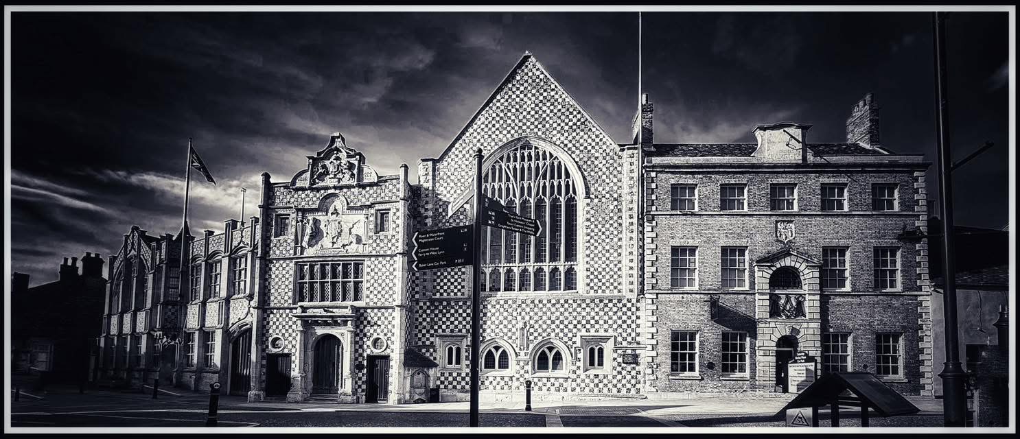
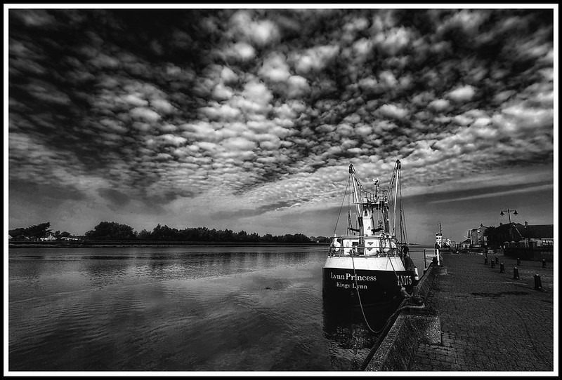
Photo © James Rye 2024
The river beside King’s Lynn looks natural. It is anything but.
Over perhaps nine centuries people diverted rivers, cut new channels, blocked old ones, constructed sluices, reclaimed mudflats, filled fleets, built docks and narrowed the channel in an effort to make the water do what they wanted. Sometimes the intention was to drain the Fens. At other times it was to keep Lynn’s harbour navigable or protect the town from the North Sea. What benefited farmers upstream could damage merchants at Lynn, and an improvement in one century could become the problem that engineers tried to solve in the next.
Nine centuries of changing the river
The most extraordinary change came first. The Great Ouse did not originally reach the Wash through Lynn at all. Its medieval history is difficult to reconstruct precisely, but the evidence increasingly points towards a major rearrangement of the river system during the thirteenth century. The traditional date is 1236. That date deserves to remain in the story, although with an important qualification.
| Date | What changed | What we know |
|---|---|---|
| c.1100 | The Little Ouse was probably diverted towards Lynn. | Archaeologist Kenneth Penn has argued that Bishop Herbert de Losinga’s development of Lynn involved diverting the Little Ouse from its older course towards Wisbech so that it reached the Wash at Lynn. Susan Maddock’s recent work accepts Penn’s reconstruction. This is a modern archaeological interpretation rather than an event described by a contemporary chronicler. |
| Early–mid 13th century | The Great Ouse changed from its older route towards Wisbech and increasingly flowed north towards Lynn. | The Great Ouse had formerly passed from Littleport towards Welney, Upwell, Outwell and the Wisbech estuary. A connection between Littleport and the Little Ouse system near Brandon Creek allowed Ouse water to escape northwards. Later evidence strongly suggests that this connection was artificial, or at least substantially altered by human engineering. An early history of Wisbech likewise describes a new cut from Littleport through Rebeck and Priest’s Houses into the Little Ouse, while admitting that its date was uncertain. |
| 1236 | A catastrophic flood struck the Fens. Later tradition associated it with the diversion of the Great Ouse. | The flood is securely recorded in medieval sources. William Dugdale, using medieval records in the seventeenth century, placed the alteration of the Ouse outfall in Henry III’s reign, 1216–72. The coincidence is compelling, but no contemporary document has yet been identified proving that the new Ouse channel was deliberately cut in 1236. 1236 should therefore be retained as the traditional date, not presented as a proven engineering date. Dugdale’s work was explicitly based upon records, manuscripts and other documentary testimony. |
| c.1250 | The old Welney course may already have been distinguished from another route. | Evidence from the Ely estates appears to refer to the “old” Welney watercourse. If correctly interpreted, this suggests that the rearrangement was already taking place by the middle of Henry III’s reign. |
| 1293 | Edward I ordered an investigation into restoring Fenland waters to their old route. | Commissioners considered waters around Outwell which were no longer following their “due and ancient course” towards the sea. By the end of the thirteenth century, therefore, contemporaries were clearly aware that the regional drainage pattern had changed. |
| 13th–14th centuries | The lower River Nar became connected with the altered Ouse system at Lynn. | The Nar formerly followed a more westerly course towards Wiggenhall before turning north. Its lower course was eventually redirected towards the new Great Ouse channel near Lynn. The exact date is unknown. Wikipedia |
| c.1250–1500 | Lynn’s waterfront advanced westwards. | This was partly silting but also deliberate reclamation. Quays were built farther into the river and ground accumulated behind them. Archaeology demonstrates successive medieval waterfronts east of the present riverbank. The town was therefore moving towards the river while the river itself was changing. The King’s Lynn Urban Archaeological Database provides the best modern overview of this evolving waterside landscape. West Norfolk Borough Council |
| 1329 | Records reveal how interconnected the Ouse and Nene systems had become. | A jury presentment preserved by Dugdale complained about obstructions affecting waterways and navigation towards Lynn. Medieval Ouse, Nene, Well Creek and Outwell cannot safely be treated as entirely separate rivers following their modern courses. |
| 1478–90 | Morton’s Leam was cut. | Bishop John Morton of Ely created a new channel to improve the Nene’s drainage towards Guyhirn and Wisbech. It should not be described simply as a diversion of the Nene into the Great Ouse at Lynn. |
| 1605–08 | Sir John Popham attempted a major drainage scheme around Upwell. | The larger undertaking failed, but Popham’s Eau survived. It was an early episode in the increasingly ambitious attempt to reorganise the Fenland waterways. |
| 1630 | Commissioners of Sewers meeting at Lynn asked Cornelius Vermuyden to prepare a drainage scheme. | Lynn was directly interested because drainage of the southern Fens could alter the volume and speed of freshwater reaching its harbour. |
| 1630s | The Old Bedford River was constructed. | The artificial channel carried floodwater from Earith towards Denver, greatly changing the movement of water through the southern Fens. |
| 1649–52 | The New Bedford or Hundred Foot River and associated works were constructed. | Vermuyden’s second great scheme created the basis of the Ouse Washes system. Drainage interests wanted water removed rapidly from farmland. Lynn needed sufficient flow through its tidal river to keep the harbour clear. Those aims could conflict. |
| c.1651 | The first Denver Sluice was built. | It prevented tidal water entering the South Level and helped regulate drainage. Sources vary between 1650, 1651 and 1652, apparently because different stages of the work are being dated. c.1651 is safest. |
| 1660s | Lynn interests campaigned against Denver Sluice and the drainage works. | Merchants and navigators believed restriction of the tide reduced the river’s ability to scour sediment from the lower Ouse. The specific claim that Lynn Corporation formally attempted to have Denver Sluice removed in 1665 still requires confirmation from corporation or Bedford Level records. |
| 1713 | Denver Sluice was destroyed. | Floodwater and a high tide undermined the structure. Navigators who blamed it for silting welcomed its destruction, although inland flooding increased again. |
| 1724 | Colonel John Armstrong surveyed the lower Great Ouse for Lynn interests. | Armstrong blamed earlier drainage works for deterioration of the tidal river and favoured restoring conditions closer to the older river system. His scheme was not adopted. |
| 1748–50 | Charles Labelye constructed a new Denver Sluice. | The replacement included a navigation lock. 1750 is the safest completion date. |
| 1766 | John Smeaton investigated the lower Ouse. | Instead of trying to recreate the old river, Smeaton proposed narrowing parts of the channel. Faster water, he reasoned, would scour away sediment. |
| 1795 | Parliament authorised the Eau Brink Cut. | The proposed channel would bypass the enormous bend in the Ouse immediately upstream of Lynn. The Act began a project that took another quarter of a century to complete. |
| 1817–21 | The Eau Brink Cut was constructed. | The new channel opened on 31 July 1821, considerably shortening and straightening the river above Lynn. |
| 1820s | Eau Brink had to be altered and widened. | The original Cut proved inadequate. Rennie and Telford were among the engineers involved in investigating the resulting problems, and substantial additional expenditure followed. |
| c.1832–34 | Denver Sluice was reconstructed under Sir John Rennie. | The work included improvements to navigation. Accounts differ slightly over its exact dates. |
| 1834–35 | The effects of Eau Brink became the subject of legal proceedings. | Lynn interests alleged that the Cut had damaged the harbour. The dispute demonstrates how difficult it was to reconcile Fen drainage with the interests of a tidal port. |
| 1846 | The Norfolk Estuary Act authorised an enormous reclamation scheme. | The Norfolk Estuary Company obtained rights over a large area of the Wash and undertook obligations concerning the shipping channels. Sir John Rennie later recalled plans to reclaim about 35,000 acres. Project Gutenberg |
| 1850–53 | The Norfolk Estuary or Marsh Cut was constructed below Lynn. | This extended the engineered river northwards towards the Wash. Contemporary legal proceedings call it the “New Cut or Marsh Cut”. vLex The tide entered the new channel in 1853 and the old course was closed. This should be distinguished from the earlier Eau Brink Cut above Lynn. |
| 1850s | The modern South Quay river line emerged. | Reclamation pushed the waterfront considerably west of its medieval position. Lynn’s familiar riverside is therefore itself partly an engineered nineteenth-century landscape. |
| 1866 | The inner Purfleet was filled or culverted. | The waterway towards High Street disappeared, High Bridge was removed and New Conduit Street occupied part of its former course. |
| 1869 | Alexandra Dock opened. | The wet dock opened on 7 July 1869, transforming the North End waterfront and accommodating the larger ships of nineteenth-century commerce. |
| 1877–83 | Bentinck Dock was authorised and built. | Financial difficulties delayed construction, but the second great enclosed dock opened in October 1883. |
| 1884 | The Old Nar Tidal Sluice effectively ended navigation between Lynn and the upper Nar. | The Nar Valley Drainage Board was no longer obliged to maintain the river for navigation. |
| 1896–98 | The Millfleet was filled or culverted. | The Corporation borrowed money for the work in 1896. A range of 1896–98 is safer than assigning the disappearance of the open fleet solely to 1897. |
| 1913–30 | Control of the lower Great Ouse was gradually rationalised. | Several different organisations still possessed responsibilities below Denver. The Land Drainage Act 1930 provided the framework for the Great Ouse Catchment Board and more unified management. |
| 1930s | Training walls below Lynn were repaired and extended. | The walls confined the outgoing river to a narrower channel. Faster flow helped scour sediment and maintain the approach to the port. |
| 31 Jan–1 Feb 1953 | A catastrophic North Sea surge flooded Lynn. | About one-fifth of the town flooded, around 1,800 people were evacuated and 15 people died in King’s Lynn. Environment Agency |
| 1954–64 | The Great Ouse Flood Protection Scheme was constructed. | The Cut-off Channel, Flood Relief Channel, improvements to the Ely Ouse and new control structures greatly increased the capacity to move floodwater through the system. |
| 1964 | The Norfolk Estuary Company was wound up. | The Victorian dream had never been realised on anything approaching its original scale. Parliament was told that about 4,000 acres had been reclaimed since 1846, with about 1,000 acres still held by the company. Its remaining interests passed to the Crown Estate Commissioners. UK Parliament API |
| 1960s–70s | Serious proposals were investigated for a barrage across the Wash. | Water supply was the principal attraction. The Water Resources Board recommended a feasibility investigation, although the government initially preferred groundwater and inland reservoir schemes because they appeared cheaper. In 1967 one estimate put a Wash barrier at £287 million. Hansard |
| 1971 | The Ely Ouse–Essex water-transfer scheme came into operation. | Water could now be moved southwards through the system, including reverse flow through part of the Cut-off Channel, towards reservoirs supplying Essex. |
| 11 Jan 1978 | Another major tidal surge flooded central Lynn. | Environment Agency records indicate that about 500 properties were flooded and damage was estimated at £5.5 million. Environment Agency |
| 1980s | Lynn received a modern system of tidal flood defences. | Flood walls, gates and barriers protected vulnerable stretches of the historic waterfront. |
| 2001 | A flood-diversion connection was created between the Nar and Relief Channel. | This was primarily a flood-management work and should be distinguished from proposals for a navigable non-tidal connection. |
| 2001–02 | The Relief Channel became navigable through Denver. | Sources vary between 2001 and 2002, apparently reflecting construction and opening dates. The exact distinction deserves checking against navigation authority records. |
| 5 Dec 2013 | Lynn experienced its highest recorded tidal level. | The gauge reached 6.17 metres above Ordnance Datum, higher than the recorded 1953 and 1978 levels. The main defences held, although there was overtopping and seepage and 15 properties were recorded as flooded. Environment Agency |
| 2014–15 | Lynn’s tidal defences were refurbished. | Gates, walls and demountable barriers were repaired or replaced following the 2013 surge. |
| 2019 | A possible future Great Ouse/Wash barrier was discussed. | This remained a long-term possibility rather than an approved construction project. |
| 2022–present | Centre Port has promoted another Wash barrage. | The present proposal combines a tidal barrage, deep-water container terminal, road connection and power generation. Reports in 2025 suggested that its promoters intended to seek a Development Consent Order. By 2026 the project was still being promoted and described within the British Hydropower Association’s tidal-range material as progressing towards the DCO process. I have not found evidence that a DCO has actually been granted. Construction Buzz |
| Proposed | A navigable Relief Channel–Nar connection has periodically been suggested. | Such a scheme could give leisure craft a largely non-tidal approach to Lynn. It has not been constructed. |
Was the Great Ouse really diverted in 1236?
This remains the most difficult entry in the table, and perhaps the most interesting.
There is little doubt about the older geography. The Great Ouse once travelled from Littleport towards Welney, Upwell, Outwell and the Wisbech estuary. At some stage a new connection carried it north from Littleport into the Little Ouse system and ultimately towards Lynn. An early history of Wisbech describes the stretch between Littleport, Rebeck and Priest’s Houses as a “new cut” and points to its unusual straightness as evidence that it was artificial. Significantly, however, the same account admits that its date was difficult to determine. Wikimedia Commons
The great flood of November 1236 certainly happened. Dugdale, writing in 1662 after extensive examination of medieval records, also placed the alteration of the Ouse outfall during the reign of Henry III. His book was explicitly compiled from “records, manuscripts, and other authentick testimonies”. LLDS Phonetics Those two pieces of evidence make the traditional association with 1236 plausible, but they do not prove that engineers deliberately dug the new channel in that particular year.
This distinction is worth preserving. The river may have broken across an existing divide during flooding, after which people enlarged and regularised the new route. An existing minor watercourse may instead have been deliberately cut through and subsequently enlarged by the much greater volume of Ouse water. Either process could leave later observers looking at what was plainly an artificial channel without knowing exactly when it had been created.
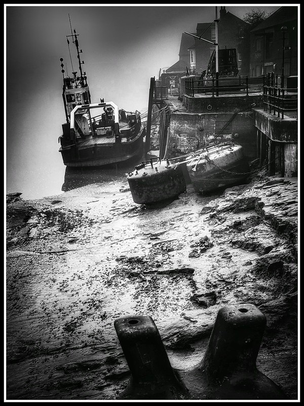
Photo © James Rye 2024
The phrase previously attributed to a 1236 royal document, “to make a channel to the sea towards Lenn”, should therefore not presently be used as a quotation. Despite a much deeper search, I have not relocated the original document from which those exact words supposedly came. The underlying case for a thirteenth-century diversion is considerably stronger than that troublesome quotation.
The river moves and the town follows
The transformation did not stop when the Great Ouse reached Lynn. Medieval townspeople progressively reclaimed the muddy river margin. Quays were constructed farther west, waste and soil accumulated behind them, and plots were extended towards the new waterfront. Lynn’s Urban Archaeological Database shows just how important the rivers, fleets and artificial channels were to the medieval town. The Nar and Fisher Fleet formed natural boundaries, while artificial waterways connected them with the Purfleet and Millfleet. West Norfolk Borough Council
This helps explain one of the oddities of modern Lynn. Streets such as King Street and Queen Street seem to run parallel with a waterfront that has always been there. It has not. The medieval shoreline lay farther east. The nineteenth-century reclamations shifted parts of it farther west again.
The town and river were therefore continually adjusting to one another.
Eau Brink and the great nineteenth-century transformation
By the eighteenth century silting had become a persistent source of argument. Lynn’s merchants wanted enough tidal and freshwater movement to scour the harbour. Fenland landowners wanted water controlled and removed from their fields. The disagreement repeatedly produced surveys, engineering schemes and litigation.
The most dramatic result above Lynn was the Eau Brink Cut. Parliament authorised it in 1795, but the undertaking became a long-running engineering and financial struggle. When the new channel finally opened in 1821 it removed a huge bend immediately upstream of the town. Problems followed, and the Cut had to be enlarged.
The next transformation took place on the other side of Lynn. The Norfolk Estuary Company, authorised in 1846, contemplated reclaiming about 35,000 acres of the Wash. Sir John Rennie later explained that the expected value of reclaimed land was intended to finance the new Ouse cut. Project Gutenberg The company’s ambitions proved much greater than its achievements, but its engineering permanently altered the river. Parliamentary and legal records describe the nineteenth-century work below Lynn as the New Cut or Marsh Cut. vLex
By the time the company was wound up in 1964, Parliament was told that only about 4,000 acres had been reclaimed since 1846. UK Parliament API Yet the company’s impact cannot be measured simply in acres. The lower Ouse had been straightened and confined, the waterfront altered, and the river approaching the Wash looked increasingly like an engineered navigation rather than the wandering estuarine river inherited from the Middle Ages.
From controlling the river to defending the town
The twentieth century changed the purpose of river engineering again. Navigation and drainage remained important, but protection from the North Sea became impossible to ignore.
The 1953 disaster killed fifteen people in King’s Lynn. Twenty-five years later another surge flooded about 500 properties. The flood walls, gates and barriers subsequently constructed around the town faced an extraordinary test on 5 December 2013. The tide reached 6.17 metres above Ordnance Datum, higher at the gauge than either 1953 or 1978. This time the principal defences held. Environment Agency
The contrast is striking. Medieval engineers helped bring the Great Ouse to Lynn. Their successors spent centuries trying to keep its channel open. Modern engineers have increasingly had to make sure that the same river stays within its banks.
The idea of one enormous intervention has never entirely disappeared. In the 1960s a Wash barrage was seriously considered as a freshwater reservoir. Hansard records extensive debate about its cost, reclaimed land, water supply, transport and potential consequences for Lynn. The government declined to authorise the recommended feasibility study in 1967 because alternative water schemes appeared cheaper. Hansard
Centre Port has revived the barrage idea in a very different form. Its proposal combines tidal generation, a deep-water container port, road and rail infrastructure and flood protection. The scheme remains controversial, particularly because of the environmental importance of the Wash. Norfolk Wildlife Trust describes it as not yet a formal planning proposal, while more recent 2026 industry material says the project is progressing towards the Development Consent Order process. Norfolk Wildlife Trust
The argument is therefore still recognisable after hundreds of years. Change the river to solve one problem, and the consequences spread far beyond the place where the engineering work begins.
© James Rye 2026
Book a Guided Tour with a Trained and Qualified King’s Lynn Guide Through Historic Lynn
References
Borough Council of King’s Lynn & West Norfolk. King’s Lynn Urban Archaeological Database Project Report. King’s Lynn, 2022. King’s Lynn Urban Archaeological Database Project Report.
Dugdale, William. The History of Imbanking and Drayning of Divers Fenns and Marshes, Both in Forein Parts and in This Kingdom. London: Alice Warren, 1662. Digitised 1662 edition, Oxford Text Archive.
Environment Agency. Anglian River Basin District: Flood Risk Management Plan 2021–2027. Environment Agency, 2022. Environment Agency flood-risk material.
Miller, Samuel H., and Sydney B. J. Skertchly. The Fenland, Past and Present. Wisbech: Leach & Son; London: Longmans, Green & Co., 1878. See also the contemporary bibliographical record. The Fenland, Past and Present.
Rennie, John. Autobiography of Sir John Rennie, F.R.S. London: E. & F. N. Spon, 1875. Digitised Autobiography of Sir John Rennie.
UK Parliament. “Norfolk Estuary Bill.” Hansard, House of Commons, 11 February 1964, vol. 689, cols. 284–99. Hansard: Norfolk Estuary Bill.
UK Parliament. “Wash Barrage Scheme (Feasibility Study).” Hansard, House of Commons, 25 April 1967. Hansard: Wash Barrage feasibility study.
UK Parliament. “Wash Barrage.” Hansard, House of Commons, 25 July 1967. Hansard: Wash Barrage debate.